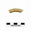
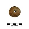
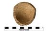
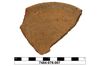
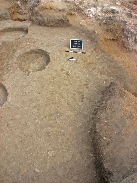
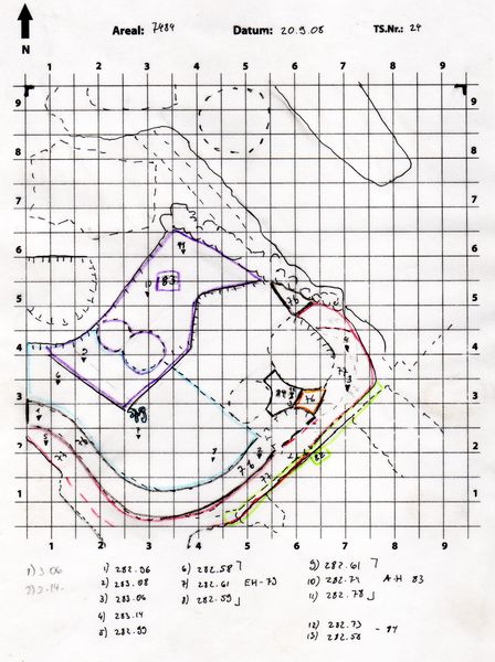
Kontext 7484:076 (Ablagerung: schwarz verfärbte Schüttung) |
![]() |
Verwaltung |
|
Koordinaten |
![]() |
![]() |
![]() |
Einrichtung
Abschluss |
18.09.2008
|
|
Ost
Nord
Höhe von bis |
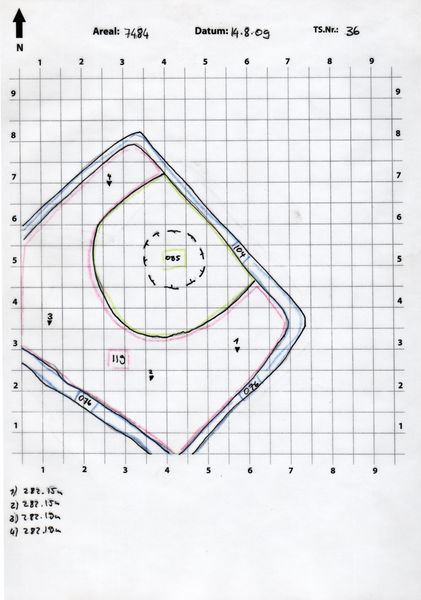
0.50 bis 5.50
0.50 bis 7.40
283.08 bis
|
|
|
| |
|
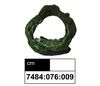
Kollektionen
|
| |
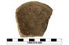
Funde
|
| |
| |
|
![]() |
|
| |
![]() |
|
2848 von 3463 |
|
Areal (Jahr) |
alle (alle) |
|
Sortierung |
kontextid DESC |
|
|
| |
![]() |
| |
|
|
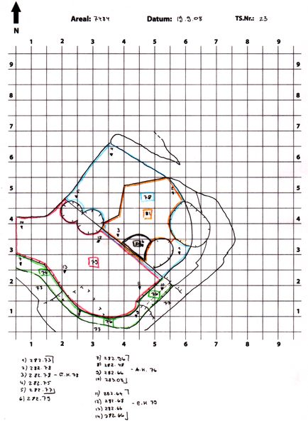
Tagesskizzen / Plana |
TS-7484-024 nicht entzerrt.tif.tif
|
|
|
| |
Der Locus liegt direkt unter |
![]() |
|
| |
|