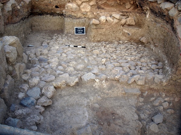
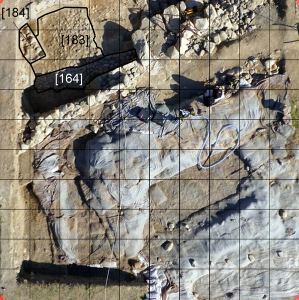
Locus:7785:183 the stone pavement, the continuation of Locus:7785:164. . It seems to be well intact. On some places it is noticed that between the rough stones surfaces a layer of fine gravel is still in place. This gravel makes walking on the pavement of course much easier. Top elevations: sw 281.92, s middle 181.92, se 281.96, ne 281.94 and nw 281.98. Coordinates: East 060 till 3.50 and North 7.50 till 9.99.
16.09.2015:
Beobachtung von Ana Arroyo, dass das Steinpflaster sowohl aus mittelgroßen Kalksteinen wie auch aus abwechselnd etwa gleich großen Bruchstücken des anstehenden Felsens (Vgl. im Tunnel erkennbarer Fels) gesetzt ist.